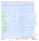
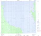
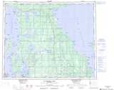
Maps showing Reindeer Island Ecological Reserve, 38,39,40,41-4-W1;40-5-W1, Manitoba
Reindeer Island Ecological Reserve is a Conservation area located in 38,39,40,41-4-W1;40-5-W1, Manitoba and has an elevation of 249 meters.
- Latitude: 52° 24' 50'' North (decimal: 52.4139000)
- Longitude: 97° 59' 50'' West (decimal: -97.9972000)
- Topography Feature Category: Conservation area
- Geographical Feature: Ecological Reserve
- Canadian Province/Territory: Manitoba
- Elevation: 249 meters
- Location: 38,39,40,41-4-W1;40-5-W1
- Atlas of Canada Locator Map: Reindeer Island Ecological Reserve
- GPS Coordinate Locator Map: Reindeer Island Ecological Reserve Lat/Long
Reindeer Island Ecological Reserve NTS Map Sheets