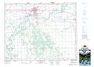
Maps showing Tucker, Manitoba
Tucker is a Unincorporated area located in Manitoba.
- Latitude: 49° 59' 17'' North (decimal: 49.9881000)
- Longitude: 98° 13' 22'' West (decimal: -98.2227999)
- Topography Feature Category: Unincorporated area
- Geographical Feature: Railway Point
- Canadian Province/Territory: Manitoba
- Atlas of Canada Locator Map: Tucker
- GPS Coordinate Locator Map: Tucker Lat/Long
Tucker NTS Map Sheets