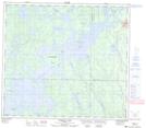
Maps showing Paul Island, 84-19W, Manitoba
Paul Island is a Island located in 84-19W, Manitoba.
- Latitude: 56° 19' 47'' North (decimal: 56.3296999)
- Longitude: 100° 27' 21'' West (decimal: -100.4557999)
- Topography Feature Category: Island
- Geographical Feature: Island
- Canadian Province/Territory: Manitoba
- Location: 84-19W
- Atlas of Canada Locator Map: Paul Island
- GPS Coordinate Locator Map: Paul Island Lat/Long
Paul Island NTS Map Sheets