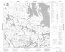
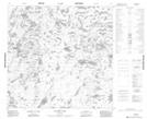
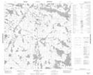
Maps showing Campbell River, 117-8W, Manitoba
Campbell River is a River located in 117-8W, Manitoba.
- Latitude: 59° 11' 57'' North (decimal: 59.1992000)
- Longitude: 98° 44' 41'' West (decimal: -98.7447000)
- Topography Feature Category: River
- Geographical Feature: River
- Canadian Province/Territory: Manitoba
- Location: 117-8W
- Atlas of Canada Locator Map: Campbell River
- GPS Coordinate Locator Map: Campbell River Lat/Long
Campbell River NTS Map Sheets