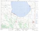
Maps showing Crawford Creek, Manitoba
Crawford Creek is a River located in Manitoba.
- Latitude: 51° 8' 22'' North (decimal: 51.1393999)
- Longitude: 99° 49' 10'' West (decimal: -99.8193999)
- Topography Feature Category: River
- Geographical Feature: Brook
- Canadian Province/Territory: Manitoba
- GPS Coordinate Locator Map: Crawford Creek Lat/Long
Crawford Creek NTS Map Sheets