Maps showing Flee Island Creek, 18-14-5W, Manitoba
Flee Island Creek is a River located in 18-14-5W, Manitoba.
- Latitude: 50° 11' 6'' North (decimal: 50.1850000)
- Longitude: 98° 8' 35'' West (decimal: -98.1431000)
- Topography Feature Category: River
- Geographical Feature: Creek
- Canadian Province/Territory: Manitoba
- Location: 18-14-5W
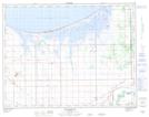
- Atlas of Canada Locator Map: Flee Island Creek
- GPS Coordinate Locator Map: Flee Island Creek Lat/Long