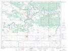
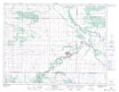
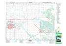
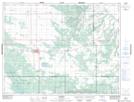
Maps showing Shilo Range and Training Area, Manitoba
Shilo Range and Training Area is a Military area located in Manitoba and has an elevation of 367 meters.
- Latitude: 49° 43' 55'' North (decimal: 49.7319000)
- Longitude: 99° 28' 27'' West (decimal: -99.4742000)
- Topography Feature Category: Military area
- Geographical Feature: C.F.T.A.
- Canadian Province/Territory: Manitoba
- Elevation: 367 meters
- Atlas of Canada Locator Map: Shilo Range and Training Area
- GPS Coordinate Locator Map: Shilo Range and Training Area Lat/Long
Shilo Range and Training Area NTS Map Sheets