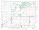
Maps showing Lauder Sand Hills Wildlife Management Area, Manitoba
Lauder Sand Hills Wildlife Management Area is a Conservation area located in Manitoba.
- Latitude: 49° 27' 5'' North (decimal: 49.4513999)
- Longitude: 100° 41' 5'' West (decimal: -100.6846999)
- Topography Feature Category: Conservation area
- Geographical Feature: Wildlife Management Area
- Canadian Province/Territory: Manitoba
- GPS Coordinate Locator Map: Lauder Sand Hills Wildlife Management Area Lat/Long