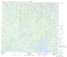
Maps showing Williams Rapids, Manitoba
Williams Rapids is a Rapids located in Manitoba.
- Latitude: 55° 24' 12'' North (decimal: 55.4033000)
- Longitude: 100° 50' 18'' West (decimal: -100.8382999)
- Topography Feature Category: Rapids
- Geographical Feature: Rapids
- Canadian Province/Territory: Manitoba
- GPS Coordinate Locator Map: Williams Rapids Lat/Long
Williams Rapids NTS Map Sheets