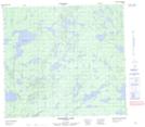
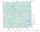
Maps showing James Williams Lake, 90-3E1, Manitoba
James Williams Lake is a Lake located in 90-3E1, Manitoba.
- Latitude: 56° 47' 4'' North (decimal: 56.7844000)
- Longitude: 97° 5' 4'' West (decimal: -97.0844000)
- Topography Feature Category: Lake
- Geographical Feature: Lake
- Canadian Province/Territory: Manitoba
- Location: 90-3E1
- Atlas of Canada Locator Map: James Williams Lake
- GPS Coordinate Locator Map: James Williams Lake Lat/Long
James Williams Lake NTS Map Sheets