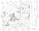
Maps showing Milne Island, 105-3W, Manitoba
Milne Island is a Cape located in 105-3W, Manitoba.
- Latitude: 58° 7' 44'' North (decimal: 58.1288888)
- Longitude: 97° 47' 47'' West (decimal: -97.7963888)
- Topography Feature Category: Cape
- Geographical Feature: Peninsula
- Canadian Province/Territory: Manitoba
- Location: 105-3W
- Atlas of Canada Locator Map: Milne Island
- GPS Coordinate Locator Map: Milne Island Lat/Long
Milne Island NTS Map Sheets