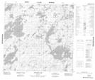
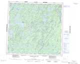
Maps showing Lee Bay, 114-18W, Manitoba
Lee Bay is a Bay located in 114-18W, Manitoba.
- Latitude: 58° 56' 39'' North (decimal: 58.9442000)
- Longitude: 100° 23' 44'' West (decimal: -100.3956000)
- Topography Feature Category: Bay
- Geographical Feature: Bay
- Canadian Province/Territory: Manitoba
- Location: 114-18W
- Atlas of Canada Locator Map: Lee Bay
- GPS Coordinate Locator Map: Lee Bay Lat/Long
Lee Bay NTS Map Sheets