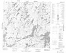
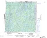
Maps showing Silver Island, 116-17W, Manitoba
Silver Island is a Island located in 116-17W, Manitoba.
- Latitude: 59° 3' 45'' North (decimal: 59.0625000)
- Longitude: 100° 13' 35'' West (decimal: -100.2264000)
- Topography Feature Category: Island
- Geographical Feature: Island
- Canadian Province/Territory: Manitoba
- Location: 116-17W
- Atlas of Canada Locator Map: Silver Island
- GPS Coordinate Locator Map: Silver Island Lat/Long
Silver Island NTS Map Sheets