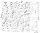
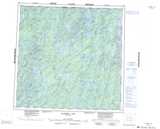
Maps showing Craig Point, 118-24W, Manitoba
Craig Point is a Cape located in 118-24W, Manitoba.
- Latitude: 59° 14' 12'' North (decimal: 59.2367000)
- Longitude: 101° 27' 8'' West (decimal: -101.4522000)
- Topography Feature Category: Cape
- Geographical Feature: Point
- Canadian Province/Territory: Manitoba
- Location: 118-24W
- Atlas of Canada Locator Map: Craig Point
- GPS Coordinate Locator Map: Craig Point Lat/Long
Craig Point NTS Map Sheets