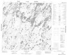
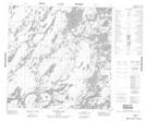
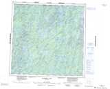
Maps showing Grenon Island, 121-16W, Manitoba
Grenon Island is a Island located in 121-16W, Manitoba.
- Latitude: 59° 29' 51'' North (decimal: 59.4975000)
- Longitude: 100° 5' 40'' West (decimal: -100.0943999)
- Topography Feature Category: Island
- Geographical Feature: Island
- Canadian Province/Territory: Manitoba
- Location: 121-16W
- Atlas of Canada Locator Map: Grenon Island
- GPS Coordinate Locator Map: Grenon Island Lat/Long
Grenon Island NTS Map Sheets