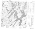
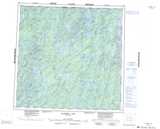
Maps showing Irwin Point, 122-21W, Manitoba
Irwin Point is a Cape located in 122-21W, Manitoba.
- Latitude: 59° 36' 8'' North (decimal: 59.6021999)
- Longitude: 101° 5' 46'' West (decimal: -101.0960999)
- Topography Feature Category: Cape
- Geographical Feature: Point
- Canadian Province/Territory: Manitoba
- Location: 122-21W
- Atlas of Canada Locator Map: Irwin Point
- GPS Coordinate Locator Map: Irwin Point Lat/Long
Irwin Point NTS Map Sheets