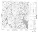
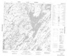
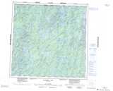
Maps showing Flett Bay, 125-21W, Manitoba
Flett Bay is a Bay located in 125-21W, Manitoba.
- Latitude: 59° 49' 33'' North (decimal: 59.8258000)
- Longitude: 101° 0' 16'' West (decimal: -101.0043999)
- Topography Feature Category: Bay
- Geographical Feature: Bay
- Canadian Province/Territory: Manitoba
- Location: 125-21W
- Atlas of Canada Locator Map: Flett Bay
- GPS Coordinate Locator Map: Flett Bay Lat/Long
Flett Bay NTS Map Sheets