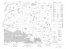
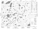
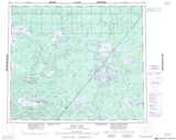
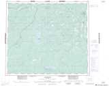
Maps showing Albert Collins Lake, 69-3E2, Manitoba
Albert Collins Lake is a Lake located in 69-3E2, Manitoba.
- Latitude: 54° 59' 48'' North (decimal: 54.9967000)
- Longitude: 93° 41' 33'' West (decimal: -93.6925000)
- Topography Feature Category: Lake
- Geographical Feature: Lake
- Canadian Province/Territory: Manitoba
- Location: 69-3E2
- Atlas of Canada Locator Map: Albert Collins Lake
- GPS Coordinate Locator Map: Albert Collins Lake Lat/Long
Albert Collins Lake NTS Map Sheets