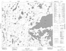
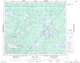
Maps showing Davies Peninsula, 64-9E, Manitoba
Davies Peninsula is a Cape located in 64-9E, Manitoba.
- Latitude: 54° 32' 39'' North (decimal: 54.5441999)
- Longitude: 92° 38' 56'' West (decimal: -92.6488999)
- Topography Feature Category: Cape
- Geographical Feature: Peninsula
- Canadian Province/Territory: Manitoba
- Location: 64-9E
- Atlas of Canada Locator Map: Davies Peninsula
- GPS Coordinate Locator Map: Davies Peninsula Lat/Long
Davies Peninsula NTS Map Sheets