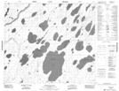
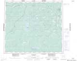
Maps showing Sutherland Point, 75-5E2, Manitoba
Sutherland Point is a Cape located in 75-5E2, Manitoba.
- Latitude: 55° 31' 44'' North (decimal: 55.5289000)
- Longitude: 93° 15' 4'' West (decimal: -93.2511000)
- Topography Feature Category: Cape
- Geographical Feature: Point
- Canadian Province/Territory: Manitoba
- Location: 75-5E2
- Atlas of Canada Locator Map: Sutherland Point
- GPS Coordinate Locator Map: Sutherland Point Lat/Long
Sutherland Point NTS Map Sheets