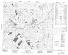
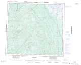
Maps showing Clifford Smith Creek, 99-16E, Manitoba
Clifford Smith Creek is a River located in 99-16E, Manitoba.
- Latitude: 57° 37' 47'' North (decimal: 57.6296999)
- Longitude: 94° 54' 30'' West (decimal: -94.9083000)
- Topography Feature Category: River
- Geographical Feature: Creek
- Canadian Province/Territory: Manitoba
- Location: 99-16E
- Atlas of Canada Locator Map: Clifford Smith Creek
- GPS Coordinate Locator Map: Clifford Smith Creek Lat/Long
Clifford Smith Creek NTS Map Sheets