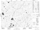
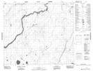
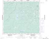
Maps showing Harris Creek, 64-11E2, Manitoba
Harris Creek is a River located in 64-11E2, Manitoba.
- Latitude: 55° 22' 47'' North (decimal: 55.3796999)
- Longitude: 92° 22' 7'' West (decimal: -92.3686000)
- Topography Feature Category: River
- Geographical Feature: Creek
- Canadian Province/Territory: Manitoba
- Location: 64-11E2
- Atlas of Canada Locator Map: Harris Creek
- GPS Coordinate Locator Map: Harris Creek Lat/Long
Harris Creek NTS Map Sheets