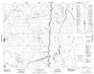
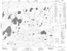
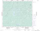
Maps showing McLean Creek, 76-12E2, Manitoba
McLean Creek is a River located in 76-12E2, Manitoba.
- Latitude: 55° 33' 36'' North (decimal: 55.5599999)
- Longitude: 92° 11' 8'' West (decimal: -92.1855999)
- Topography Feature Category: River
- Geographical Feature: Creek
- Canadian Province/Territory: Manitoba
- Location: 76-12E2
- Atlas of Canada Locator Map: McLean Creek
- GPS Coordinate Locator Map: McLean Creek Lat/Long
McLean Creek NTS Map Sheets