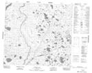
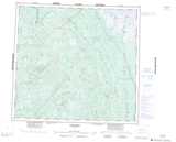
Maps showing John Paterson Creek, 97-13E, Manitoba
John Paterson Creek is a River located in 97-13E, Manitoba.
- Latitude: 57° 25' 31'' North (decimal: 57.4252999)
- Longitude: 95° 21' 43'' West (decimal: -95.3618999)
- Topography Feature Category: River
- Geographical Feature: Creek
- Canadian Province/Territory: Manitoba
- Location: 97-13E
- Atlas of Canada Locator Map: John Paterson Creek
- GPS Coordinate Locator Map: John Paterson Creek Lat/Long
John Paterson Creek NTS Map Sheets