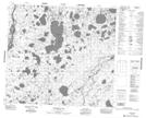
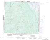
Maps showing Murphy Point, 94-11E, Manitoba
Murphy Point is a Cape located in 94-11E, Manitoba.
- Latitude: 57° 12' 13'' North (decimal: 57.2036000)
- Longitude: 95° 45' 50'' West (decimal: -95.7638999)
- Topography Feature Category: Cape
- Geographical Feature: Point
- Canadian Province/Territory: Manitoba
- Location: 94-11E
- Atlas of Canada Locator Map: Murphy Point
- GPS Coordinate Locator Map: Murphy Point Lat/Long
Murphy Point NTS Map Sheets