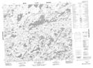
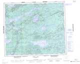
Maps showing John McKay Bay, Manitoba
John McKay Bay is a Bay located in Manitoba.
- Latitude: 54° 6' 42'' North (decimal: 54.1116999)
- Longitude: 96° 5' 3'' West (decimal: -96.0842000)
- Topography Feature Category: Bay
- Geographical Feature: Bay
- Canadian Province/Territory: Manitoba
- GPS Coordinate Locator Map: John McKay Bay Lat/Long
John McKay Bay NTS Map Sheets