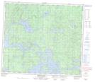
Maps showing Folster Point, 80-28W, Manitoba
Folster Point is a Cape located in 80-28W, Manitoba.
- Latitude: 55° 55' 10'' North (decimal: 55.9193999)
- Longitude: 101° 50' 26'' West (decimal: -101.8406000)
- Topography Feature Category: Cape
- Geographical Feature: Point
- Canadian Province/Territory: Manitoba
- Location: 80-28W
- Atlas of Canada Locator Map: Folster Point
- GPS Coordinate Locator Map: Folster Point Lat/Long
Folster Point NTS Map Sheets