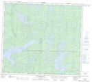
Maps showing Lavallee Island, 85-24-W, Manitoba
Lavallee Island is a Island located in 85-24-W, Manitoba.
- Latitude: 56° 20' 7'' North (decimal: 56.3353000)
- Longitude: 101° 8' 37'' West (decimal: -101.1435999)
- Topography Feature Category: Island
- Geographical Feature: Island
- Canadian Province/Territory: Manitoba
- Location: 85-24-W
- GPS Coordinate Locator Map: Lavallee Island Lat/Long
Lavallee Island NTS Map Sheets