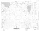
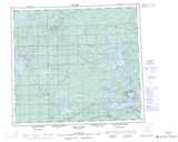
Maps showing Miller Creek, 85-2W, Manitoba
Miller Creek is a River located in 85-2W, Manitoba.
- Latitude: 56° 18' 33'' North (decimal: 56.3092000)
- Longitude: 97° 34' 56'' West (decimal: -97.5821999)
- Topography Feature Category: River
- Geographical Feature: Creek
- Canadian Province/Territory: Manitoba
- Location: 85-2W
- Atlas of Canada Locator Map: Miller Creek
- GPS Coordinate Locator Map: Miller Creek Lat/Long
Miller Creek NTS Map Sheets