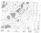
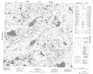
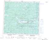
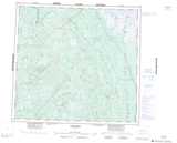
Maps showing Wardell Lake, 92-16E, Manitoba
Wardell Lake is a Lake located in 92-16E, Manitoba.
- Latitude: 56° 59' 5'' North (decimal: 56.9846999)
- Longitude: 94° 57' 0'' West (decimal: -94.9500000)
- Topography Feature Category: Lake
- Geographical Feature: Lake
- Canadian Province/Territory: Manitoba
- Location: 92-16E
- Atlas of Canada Locator Map: Wardell Lake
- GPS Coordinate Locator Map: Wardell Lake Lat/Long
Wardell Lake NTS Map Sheets