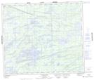
Maps showing McHofflie Lake, Manitoba
McHofflie Lake is a Lake located in Manitoba.
- Latitude: 55° 10' 28'' North (decimal: 55.1743999)
- Longitude: 96° 56' 28'' West (decimal: -96.9410999)
- Topography Feature Category: Lake
- Geographical Feature: Lake
- Canadian Province/Territory: Manitoba
- GPS Coordinate Locator Map: McHofflie Lake Lat/Long
McHofflie Lake NTS Map Sheets