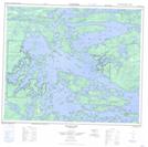
Maps showing MacTavish Peninsula, Manitoba
MacTavish Peninsula is a Cape located in Manitoba.
- Latitude: 53° 59' 8'' North (decimal: 53.9856000)
- Longitude: 94° 47' 35'' West (decimal: -94.7930999)
- Topography Feature Category: Cape
- Geographical Feature: Peninsula
- Canadian Province/Territory: Manitoba
- GPS Coordinate Locator Map: MacTavish Peninsula Lat/Long
MacTavish Peninsula NTS Map Sheets