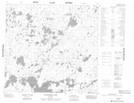
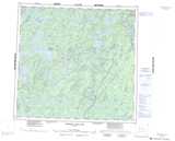
Maps showing Frederick Turner Lake, 104 - 16W, Manitoba
Frederick Turner Lake is a Lake located in 104 - 16W, Manitoba.
- Latitude: 58° 4' 1'' North (decimal: 58.0669000)
- Longitude: 100° 5' 40'' West (decimal: -100.0943999)
- Topography Feature Category: Lake
- Geographical Feature: Lake
- Canadian Province/Territory: Manitoba
- Location: 104 - 16W
- Atlas of Canada Locator Map: Frederick Turner Lake
- GPS Coordinate Locator Map: Frederick Turner Lake Lat/Long
Frederick Turner Lake NTS Map Sheets