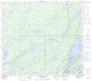
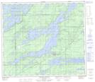
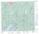
Maps showing Paint Lake Provincial Recreation Park, Manitoba
Paint Lake Provincial Recreation Park is a Conservation area located in Manitoba and has an elevation of 186 meters.
- Latitude: 55° 28' 56'' North (decimal: 55.4822000)
- Longitude: 97° 55' 19'' West (decimal: -97.9219000)
- Topography Feature Category: Conservation area
- Geographical Feature: Provincial Recreation Park
- Canadian Province/Territory: Manitoba
- Elevation: 186 meters
- GPS Coordinate Locator Map: Paint Lake Provincial Recreation Park Lat/Long
Paint Lake Provincial Recreation Park NTS Map Sheets