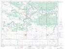
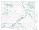
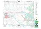
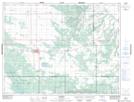
Maps showing Spruce Woods Provincial Forest, 30 - 9 - 14W, Manitoba
Spruce Woods Provincial Forest is a Conservation area located in 30 - 9 - 14W, Manitoba.
- Latitude: 49° 46' 38'' North (decimal: 49.7772000)
- Longitude: 99° 21' 1'' West (decimal: -99.3503000)
- Topography Feature Category: Conservation area
- Geographical Feature: Provincial Forest
- Canadian Province/Territory: Manitoba
- Location: 30 - 9 - 14W
- Atlas of Canada Locator Map: Spruce Woods Provincial Forest
- GPS Coordinate Locator Map: Spruce Woods Provincial Forest Lat/Long
Spruce Woods Provincial Forest NTS Map Sheets