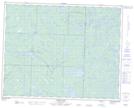
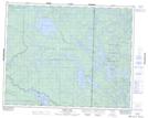
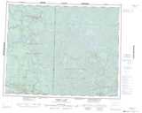
Maps showing Conley Trail, 24 - 15E, Manitoba
Conley Trail is a Road feature located in 24 - 15E, Manitoba.
- Latitude: 51° 0' 13'' North (decimal: 51.0036111)
- Longitude: 95° 22' 41'' West (decimal: -95.3780555)
- Topography Feature Category: Road feature
- Geographical Feature: Road
- Canadian Province/Territory: Manitoba
- Location: 24 - 15E
- Atlas of Canada Locator Map: Conley Trail
- GPS Coordinate Locator Map: Conley Trail Lat/Long
Conley Trail NTS Map Sheets