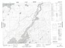
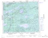
Maps showing Island River, 23- 60- 2- W, Manitoba
Island River is a River located in 23- 60- 2- W, Manitoba.
- Latitude: 54° 11' 52'' North (decimal: 54.1977778)
- Longitude: 97° 38' 20'' West (decimal: -97.6388888)
- Topography Feature Category: River
- Geographical Feature: River
- Canadian Province/Territory: Manitoba
- Location: 23- 60- 2- W
- Atlas of Canada Locator Map: Island River
- GPS Coordinate Locator Map: Island River Lat/Long
Island River NTS Map Sheets