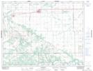
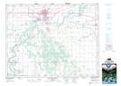
Maps showing Long Plain 6, Manitoba
Long Plain 6 is a Indian Reserve located in Manitoba.
- Latitude: 49° 49' 37'' North (decimal: 49.8268999)
- Longitude: 98° 28' 43'' West (decimal: -98.4785999)
- Topography Feature Category: Indian Reserve
- Geographical Feature: Indian Reserve - Réserve indienne
- Canadian Province/Territory: Manitoba
- Atlas of Canada Locator Map: Long Plain 6
- GPS Coordinate Locator Map: Long Plain 6 Lat/Long
Long Plain 6 NTS Map Sheets