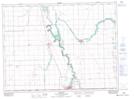
Maps showing Roseau River 2, Manitoba
Roseau River 2 is a Indian Reserve located in Manitoba.
- Latitude: 49° 10' 4'' North (decimal: 49.1678000)
- Longitude: 97° 15' 58'' West (decimal: -97.2661000)
- Topography Feature Category: Indian Reserve
- Geographical Feature: Indian Reserve - Réserve indienne
- Canadian Province/Territory: Manitoba
- Atlas of Canada Locator Map: Roseau River 2
- GPS Coordinate Locator Map: Roseau River 2 Lat/Long