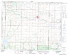
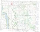
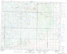
Maps showing Valley River 63A, Manitoba
Valley River 63A is a Indian Reserve located in Manitoba.
- Latitude: 51° 14' 13'' North (decimal: 51.2368999)
- Longitude: 100° 56' 13'' West (decimal: -100.9368999)
- Topography Feature Category: Indian Reserve
- Geographical Feature: Indian Reserve - Réserve indienne
- Canadian Province/Territory: Manitoba
- Atlas of Canada Locator Map: Valley River 63A
- GPS Coordinate Locator Map: Valley River 63A Lat/Long
Valley River 63A NTS Map Sheets