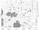
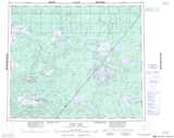
Maps showing Chepi Lake, Manitoba
Chepi Lake is a Indian Reserve located in Manitoba.
- Latitude: 54° 37' 51'' North (decimal: 54.6308333)
- Longitude: 92° 25' 55'' West (decimal: -92.4319443)
- Topography Feature Category: Indian Reserve
- Geographical Feature: Indian Reserve - Réserve indienne
- Canadian Province/Territory: Manitoba
- Atlas of Canada Locator Map: Chepi Lake
- GPS Coordinate Locator Map: Chepi Lake Lat/Long
Chepi Lake NTS Map Sheets