Maps showing Notukeu Creek, 27-11-4-W3, Saskatchewan
Notukeu Creek is a River located in 27-11-4-W3, Saskatchewan and has an elevation of 689 meters.
- Latitude: 49° 56' North (decimal: 49.9333624)
- Longitude: 106° 29' West (decimal: -106.4839407)
- Topography Feature Category: River
- Geographical Feature: Creek
- Canadian Province/Territory: Saskatchewan
- Elevation: 689 meters
- Location: 27-11-4-W3
- Atlas of Canada Locator Map: Notukeu Creek
- GPS Coordinate Locator Map: Notukeu Creek Lat/Long
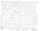
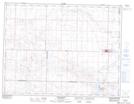
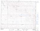
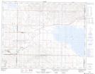
Notukeu Creek NTS Map Sheets
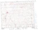
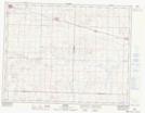
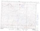
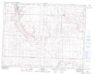
072F09 Shaunavon Topographic Map at 1:50,000 scale
072G11 Ponteix Topographic Map at 1:50,000 scale
072G12 Cadillac Topographic Map at 1:50,000 scale
072G13 Neville Topographic Map at 1:50,000 scale
072G14 Vanguard Topographic Map at 1:50,000 scale
072G15 Gravelbourg Topographic Map at 1:50,000 scale
072G16 Mazenod Topographic Map at 1:50,000 scale
072J01 Courval Topographic Map at 1:50,000 scale
072J02 Hodgeville Topographic Map at 1:50,000 scale
072F Cypress Lake Topographic Map at 1:250,000 scale
072G Wood Mountain Topographic Map at 1:250,000 scale
072J Swift Current Topographic Map at 1:250,000 scale