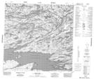
Maps showing Inge Bay, Saskatchewan
Inge Bay is a Bay located in Saskatchewan and has an elevation of 401 meters.
- Latitude: 59° 29' North (decimal: 59.4837379)
- Longitude: 106° 46' West (decimal: -106.7677183)
- Topography Feature Category: Bay
- Geographical Feature: Bay
- Canadian Province/Territory: Saskatchewan
- Elevation: 401 meters
- Atlas of Canada Locator Map: Inge Bay
- GPS Coordinate Locator Map: Inge Bay Lat/Long
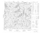
Inge Bay NTS Map Sheets