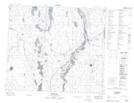
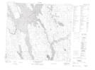
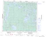
Maps showing Amyot Lake, 72,73-13-W3, Saskatchewan
Amyot Lake is a Lake located in 72,73-13-W3, Saskatchewan and has an elevation of 435 meters.
- Latitude: 55° 16' North (decimal: 55.2667525)
- Longitude: 107° 52' West (decimal: -107.8673608)
- Topography Feature Category: Lake
- Geographical Feature: Lake
- Canadian Province/Territory: Saskatchewan
- Elevation: 435 meters
- Location: 72,73-13-W3
- Atlas of Canada Locator Map: Amyot Lake
- GPS Coordinate Locator Map: Amyot Lake Lat/Long
Amyot Lake NTS Map Sheets