Canada Topographic Maps

Antler River Topo Maps

Topography maps and Latitude/Longitude Location

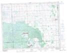
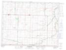
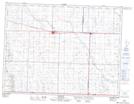
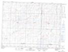
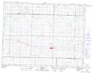
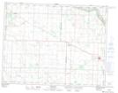
Maps showing Antler River, 22-2-27-W, Saskatchewan

Antler River is a River located in 22-2-27-W, Saskatchewan and has an elevation of 485 meters.

  • Latitude: 49° 1' North   (decimal: 49.0166886)
  • Longitude: 101° 22' West   (decimal: -101.3671068)
  • Topography Feature Category: River
  • Geographical Feature: River
  • Canadian Province/Territory: Saskatchewan
  • Elevation: 485 meters
  • Location: 22-2-27-W
  • Atlas of Canada Locator Map: Antler River
  • GPS Coordinate Locator Map: Antler River Lat/Long

Antler River NTS Map Sheets

062E16 Dumas Topographic Map at 1:50,000 scale

062F03 Gainsborough Topographic Map at 1:50,000 scale

062F04 Carnduff Topographic Map at 1:50,000 scale

062F05 Alida Topographic Map at 1:50,000 scale

062F12 Redvers Topographic Map at 1:50,000 scale

062F13 Maryfield Topographic Map at 1:50,000 scale

062E Weyburn Topographic Map at 1:250,000 scale

062F Virden Topographic Map at 1:250,000 scale

 
Buy Topographic Maps DVD
Newsletter Sign-up

Yes, I want to receive map store discounts.


Bookmark and Share