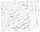
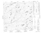
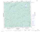
Maps showing James Creek, Saskatchewan
James Creek is a River located in Saskatchewan and has an elevation of 435 meters.
- Latitude: 58° 14' North (decimal: 58.2334625)
- Longitude: 109° 29' West (decimal: -109.4842024)
- Topography Feature Category: River
- Geographical Feature: Creek
- Canadian Province/Territory: Saskatchewan
- Elevation: 435 meters
- Atlas of Canada Locator Map: James Creek
- GPS Coordinate Locator Map: James Creek Lat/Long
James Creek NTS Map Sheets