Canada Topographic Maps

Foster River Topo Maps

Topography maps and Latitude/Longitude Location

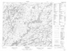
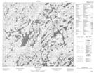
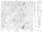
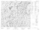
Maps showing Foster River, Saskatchewan

Foster River is a River located in Saskatchewan and has an elevation of 410 meters.

  • Latitude: 55° 47' North   (decimal: 55.7834056)
  • Longitude: 105° 49' West   (decimal: -105.8171608)
  • Topography Feature Category: River
  • Geographical Feature: River
  • Canadian Province/Territory: Saskatchewan
  • Elevation: 410 meters
  • Atlas of Canada Locator Map: Foster River
  • GPS Coordinate Locator Map: Foster River Lat/Long

Foster River NTS Map Sheets

073P13 Eulas Lake Topographic Map at 1:50,000 scale

074A03 Nagle Lake Topographic Map at 1:50,000 scale

074A04 Hewetson Lake Topographic Map at 1:50,000 scale

074A05 Pylypow Lake Topographic Map at 1:50,000 scale

073P Lac La Ronge Topographic Map at 1:250,000 scale

074A Upper Foster Lake Topographic Map at 1:250,000 scale

 
Buy Topographic Maps DVD
Newsletter Sign-up

Yes, I want to receive map store discounts.


Bookmark and Share