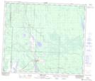
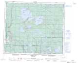
Maps showing Charles Lake, 62-13-W3, Saskatchewan
Charles Lake is a Lake located in 62-13-W3, Saskatchewan and has an elevation of 456 meters.
- Latitude: 54° 22' North (decimal: 54.3667514)
- Longitude: 107° 49' West (decimal: -107.8173521)
- Topography Feature Category: Lake
- Geographical Feature: Lake
- Canadian Province/Territory: Saskatchewan
- Elevation: 456 meters
- Location: 62-13-W3
- Atlas of Canada Locator Map: Charles Lake
- GPS Coordinate Locator Map: Charles Lake Lat/Long
Charles Lake NTS Map Sheets