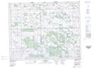
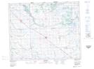
Maps showing Jedburgh, 1-27-8-W2, Saskatchewan
Jedburgh is a Unincorporated area located in 1-27-8-W2, Saskatchewan and has an elevation of 579 meters.
- Latitude: 51° 17' 55'' North (decimal: 51.2986078)
- Longitude: 103° 0' 7'' West (decimal: -103.0018788)
- Topography Feature Category: Unincorporated area
- Geographical Feature: Hamlet
- Canadian Province/Territory: Saskatchewan
- Elevation: 579 meters
- Location: 1-27-8-W2
- Atlas of Canada Locator Map: Jedburgh
- GPS Coordinate Locator Map: Jedburgh Lat/Long
Jedburgh NTS Map Sheets