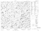
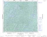
Maps showing Jewell Lake, Saskatchewan
Jewell Lake is a Lake located in Saskatchewan and has an elevation of 417 meters.
- Latitude: 56° 48' North (decimal: 56.8000939)
- Longitude: 104° 15' West (decimal: -104.2504490)
- Topography Feature Category: Lake
- Geographical Feature: Lake
- Canadian Province/Territory: Saskatchewan
- Elevation: 417 meters
- Atlas of Canada Locator Map: Jewell Lake
- GPS Coordinate Locator Map: Jewell Lake Lat/Long
Jewell Lake NTS Map Sheets